After a few days driving around Aomori prefecture, famous for its apples, massive floats, and the northernmost castle in Japan, we caught the Tohoku Shinkansen to Shinhanamaki Station in Iwate prefecture. Taking a moment to pay our respects to the absolute shrine of a display for local boy Otani Shohei at the Shinkansen station, we picked up a car and made our way to the Sanriku Coast, a unique section of the Japanese coastline known for its 36 bays.

Fractal. The Sanriku Railway has a scenic route that goes down the coast, but we had a lot of ground to cover and not enough time to take the train.
The drive eastward through mountainous Iwate took about an hour and half at high speed on a highway with countless tunnels. This is an area of rugged mountains and stark valleys, ending in all those little bays on the coast. Though beautiful, this was particularly problematic for reasons we will get into later.
Kamaishi, home to the Nippon Steel rugby club
Our destination is Kamaishi, one of the many coastal communities hit hard during the tsunami. We exited the freeway about 4km up the curving valley. Although we could smell the salty air of the ocean our view was still obscured by mountains. As soon as we started driving down the exit ramp we saw a road sign that I have never seen before: Tsunami Inundation Area STARTS. Those black poisonous waters reached this far up the valley from the seashore!
Driving down freshly paved streets we passed new houses on clean and flat plots. There were many open and undeveloped plots creating an awkward netherspace between crisply constructed single family homes — not the standard shoulder-to-shoulder style of urban design seen in older Japanese towns. This northern area of Kamaishi was still being rebuilt from the ground up over the past dozen years.
As part of the rebuild, and the overall economic recovery plan, a brand new rugby stadium was built on a stretch of land where two schools had once been. The stadium was built to host games for the 2019 Rugby World Cup held in Japan. Unfortunately, due to Typhoon Hagibis the Namibia v Canada game was cancelled, and in the end only a single World Cup game was played here. Videos from that day make the atmosphere looked excellent. Unfortunately, the following year Covid struck. I am not sure how much the stadium is used now.
Across from the stadium on the other side of the river is the Tsunami Memorial Hall いのちをつなぐ未来館. (The parking lot features a big rugby ball commemorating the 2019 World Cup). This small museum details the extent of the tsunami on the local community, showing the damages done and featuring some exceptional survival stories. Of Kamaishi’s 35,000 people at the time, about 1,145 died in the tsunami. 97% of kids survived due to some quick thinking and the training the kids have. Next to the museum is a memorial to those lives that were lost.
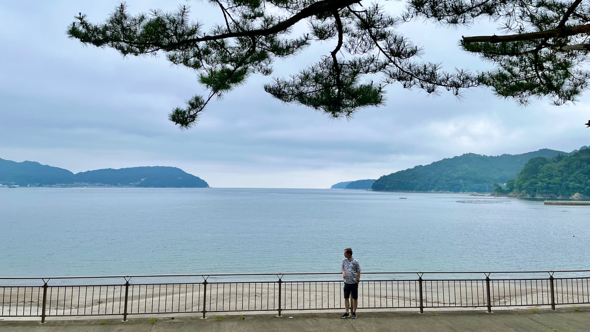
Kamaishi is a city spread out along the coast, north to south, covering four of those thirty-six Sanriku bays. We stayed on the northernmost bay at Horaikan, a beachside ryokan with a perfect view of the bay where the tsunami came in. There used to be a wide beach here, perfect for summer getaways. After the tsunami it was gone. Not because it was washed away, but because it was sunk along with the tectonic plate during the 3/11 earthquake. Now, with that underwater beach as its base, stands a long seawall with water flow control gates to protect the town from any future tsunami. This is part of the 430 kilometers of seawall that was constructed along the Tohoku coast post-disaster.


The Horaikan sits a few meters above the waterline, facing out to the Otsuchi Bay, where the tsunami swept in twelve years ago. The second generation owner Iwasaki Akiko has been heavily involved in the PR campaigns for reconstruction, the rugby World Cup, and generally for bringing tourists to the region. We were lucky that the night we stayed she gave a hour long talk on her tsunami experience to hotel guests. We sat comfortably in our yukata as she showed us the traumatic video of her running across the parking lot to the hill behind her hotel. That video is below.
(Trigger warning: This is intense… know that everyone in the video survived)
The next morning, after checking out, we walked up the hill and I tried to take a video from the same perspective. Since the tsunami the evacuation path has been rebuilt, fortified, with wooden planks to aid in pushing up a wheelchair. Here is the perspective 12 years later:
Iwasaki-san relayed a number of experiences of locals, neighbours and students, she has known all her life, or all their lives. One of the few students to be taken by the water had gone back for his grandparents, and didn’t return. One of the guests staying that night was a Search and Rescue worker from Hokkaido. He shared how an old coworker had transferred to Kamaishi before the disaster. Iwasaki knew him. He was taken by the sea.
Between the Tsunami Memorial and hearing the experience of Iwasaki, the lessons were simple:
- Prepare: Be mindful of the water. It is calm and beautiful until it isn’t. Know where the local evac routes are. In the countryside this is likely the nearest hill. In the city it can be tall buildings. However many buildings are not evac friendly. They don’t have the carrying capacity for more than their residents and will turn you away. Only something like 3% of buildings in Japan are evacuation friendly. In central Osaka, there are just 122 official evac buildings with a capacity to handle 63,273 evacuees. This is in a city of 2.7 million people (and a metro area of 19 million, many of whom commute to the city daily). Iwasaki-san stressed the need for more buildings to become official evacuation sites.
- Just run: After an earthquake on the faultline in the sea you might only have 10 minutes before a tsunami hits. Get to high ground as possible. Run to the nearest high ground you can get to and keep going up. You might not be able to make it to the “designated evacuation facility”. For people at Horaikan, that was like a 10 minute drive away. Also, it was not tall enough. 69 people died there. Furthermore, don’t wait for orders from someone else. Just run. You don’t have time. In Kamaishi they started teaching the kids “the first one to run is the bravest.” When people see others running, they will follow, and they might live. Those that stay behind pondering their options won’t.
- Those who return, don’t come back: Just like in an airplane, you have to put your oxygen mask before you help others, or you risk two people dying. The same for escape natural disasters. Save yourself, continue your story.

Rikuzentakata and the “Miracle Pine”
Forty five minutes and about eight craggy bays south of Kamaishi is the very flat town of Rikuzentakata. There is about a 2 kilometer stretch between the hillsides and the seashore, a flat plain where the town used to be. It was almost completely wiped away by the tsunami. The new highway passes along the low flat, with a very long seawall to the left, and a bank of newly constructed homes on the hillside to the right. The no-man’s-land in the middle is pretty flat and green. A soccer field here, a baseball field there, and the occasional condemned building preserved as a memorial to the tsunami. All the land here was donated by the private owners for the construction of a large park in which sits the Iwate Tsunami Memorial Museum 東日本大震災津波伝承館.
The facility actually houses two buildings: one is the museum proper and the other a roadstop filled with typical roadside souvenir stands and food stalls. Between the buildings is a wide path leading to the seawall. The beginning of this path is marked by a very shallow commemorative fountain, with a basin just a few millimeters deep.
The museum is actually fairly small and covers the history of the earthquake and tsunami, facts and figures, and the response along the entire coast of Iwate prefecture. There is a section on the lessons learned and what it means to be a disaster-prepared community which I wish I took more photos of. It had all sorts of interesting perspectives on how resilient communities need social trust, recognition of diversity, and inclusive design. Unfortunately I assumed they would have all this info in a downloadable manual, which does not seem to be the case.
Another highlight of the museum is the reproduction of the control room where disaster responders gathered and executed on “Operation Comb”. From helicopter footage responders could see that the tsunami was massive – bigger than anything previously experienced. They knew that in the mountainous towns of the Sanriku area, with all its narrow valleys and craggy bays, getting relief workers and supplies in was going to be a challenge, especially with all the debris and damage the tsunami would put in their way. Quickly they identified a number of key artery routes which on a map looks like the teeth of a comb.

Disaster response then mobilized locals including construction firms to clear the roads of debris as soon as possible, allowing emergency vehicle access. Within just seven days they were able to get 15 out of the 16 national routes from major inland cities to coastal communities cleared, and response vehicles in.
One unique aspect of Rikuzentakata is the “Miracle Pine”, a symbol of resilience in the face of disaster. Just like many seaside towns in Japan, pine trees were grown along the water to prevent erosion of the beach. These trees were almost completely wiped away during the tsunami, except for a single 28 meter tall tree nearly 200 years old! That tree serves as a commemorative landmark, the subject of many tour group photographs and artworks. Behind the tree where everyone stands for photos is a crumbling youth hostel, preserved in remembrance. Further in the background is the seawall and water flow control gates. Across the river is an abandoned high school where we saw a bus tour of school kids being led through.

In truth, this tree is dead. Inundated with seawater the pine apparently died where it stood within a year after the tsunami. The local community preserved the tree and it remains standing as a symbol.
From up on the seawall you get a good view of the Miracle Pine and the seaside where a whole new pine forest is being grown.
You can see how the museum building is wide but not very tall. All I could think about while walking the seawall was “If there was an earthquake right now and we had just 10 minutes to get to safety before a tsunami struck… where could I go? The car is a few minutes run away, and I don’t know if I could drive up to the hills in time… and the museum is just one floor! Why didn’t they build it tall instead of wide!? How do the workers feel about having to come here every day!?“
I think there are still more lessons to be learned.
Driving the rocky hills of Iwate, along the many bays of the Sanriku coast, gave me a new appreciation of the challenges of the tsunami. This is a key reason I like to travel to historic locations: geography matters and can lead to insights that you don’t obtain merely from reading news accounts. Not everyone can see a location with their own eyes which is why I like to do this kind of travel writing.
In the next post we journey further south, to Fukushima Prefecture, where we will learn about the third part of the triple disaster: the tsunami-induced explosion of three reactors at the Fukushima Daiichi Nuclear Power Plant.
To see all of my Iwate photos and vids on Flickr, click here →
Comments
2 responses to “Driving Iwate: The 3/11 tsunami 12 years later”
[…] See the first part of this travelogue on Iwate and the tsunami […]
[…] sights, and being force-fed wanko noodles, we then drove to the coast to see the effects of the 3/11 tsunami 12 years later. Finally, right before we got on the train to Sendai, we visited Hiraizumi, the political seat of […]